Land Surveying Portfolio
Oregon Air National Guard, 173rd CE Squadron, Kingsley Field Survey ProjectThe purpose of the survey was to create the beginning platform of a Comprehensive Electronic Base Map. This was done for both the Oregon Coordinate Reference System and the Oregon State Plane, South Zone Coordinate systems. Rhine-Cross Group, LLC (RCG) retained 3DiWEST (3Di) to map all of the features above ground in areas outlined by the Air National Guard (ANG). 3Di used aerial photos that were captured in April of 2011. |
|
USDA-NRCS – multiple Wetland Reserve Program (WRP) Surveys in Klamath County, OregonRCG provided USDA-Natural Resources Conservation Service with Boundary surveys for (5) separate WRP surveys ranging in size from 72 acres to 463 acres which include services for locating, setting monuments, and providing legal descriptions for the property defined as the Redband Red, Crooked Creek 1, Crooked Creek 2, Seven Mile, and Crane Creek WRP's, and provide legal descriptions for an access easement leading to the property as directed by the NRCS. RCG resolved the boundary of the parcels, which required the breakdown of many sections, then set monuments, witness posts and signs at each corner and at 500' increments along boundary tangents, provided legal descriptions, and provided digital and hard copies of each Map of Survey. RCG also provided coordinates of the property corners using GPS technology to an accuracy of .10 feet. Because monuments were set, RCG was required to submit a Map of Survey to the Klamath County Surveyor's Office for each project. |
|
City of Klamath Falls, Oregon multiple topographic surveysRCG has completed topographic surveying services for multiple design projects for the City of Klamath Falls. The most recent project was the topographic survey for ½ mile of Altamont Road in Klamath Falls for a water main relocation project. Careful attention to site features and existing underground utilities was important in developing the topographic survey map for design purposes. RCG recovered enough boundary survey monuments to accurately depict the road right of ways on the survey map. RCG worked closely with other jurisdictional and utility purveyor involvement with the project, including Klamath County Public Works (Street Owner), South Suburban Sanitary Sewer District, Pacific Power, CenturyLink (telephone), Charter Communications (Cable TV), and Avista Utilities (Natural Gas) in an effort to accurately locate the existing underground utilities. |
|
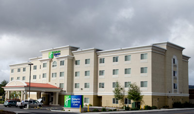
Holiday Inn Express
|
|
Klamath Christian Center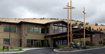 |
|
Klamath Community College Health Science Building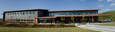 |
|
Sky Lakes Medical Center Addition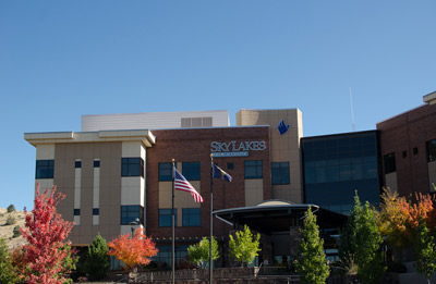 |
|
Herald and News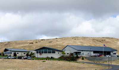 |
|
Oregon Institute of Technology Martha Anne Dow Center for Medical Professionals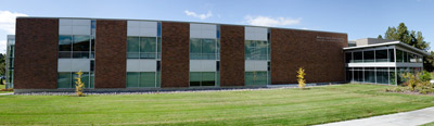 |
|